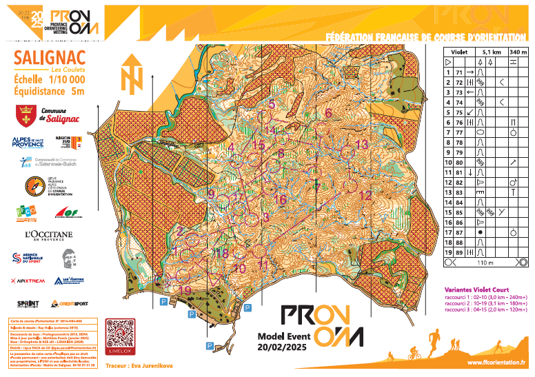
Date : Thursday 20.02 (9:00) to Sunday 23.02 (18:00)
Location : Salignac (04290)
Parkings :
44.158741, 5.980380
44.158531, 5.984916
44.158149, 5.981950
44.156321, 5.983304
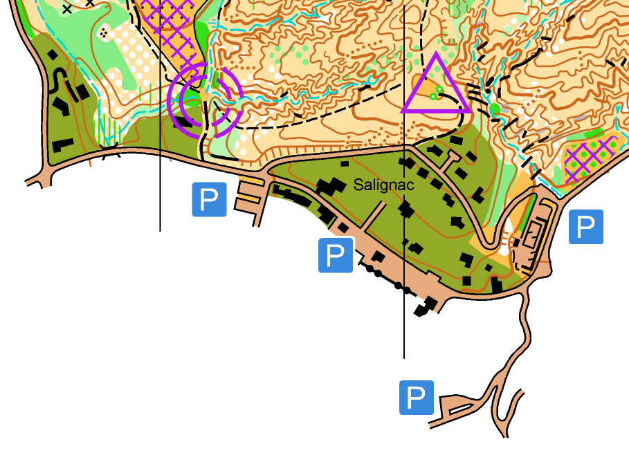
Access to map :
Information :
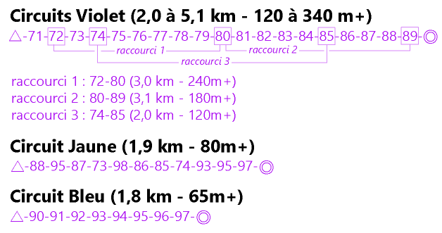
- Double sided map with All controls (1/7500 scale) on one side, and “Violet” course +short-cuts (1/10 000 scale) on the other side.
- Flags 30×30 with control codes.
- No timing.
- Course planner : Eva Jurenikova
- Collect your map, together with your number bib, or buy it (limited stocks, price 5€) at the event centre in Sisteron (Thursday) or in the arena (Friday-Sunday).
Distance parking-event office: no event office.
Distance parking-start : between 200m and 500m depending on the parking
Distance finish-parking : between 200m and 500m depending on the parking
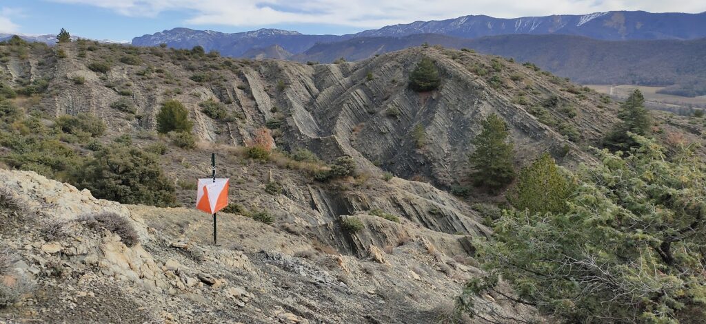
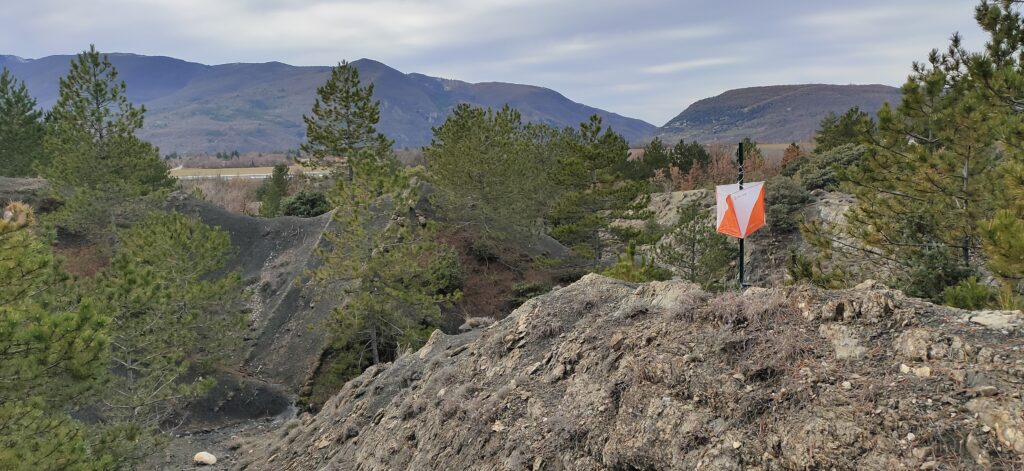
Terrain :
- Open terrain with deep gullies and steep slopes on part of the map.
Safety rules :
- Metal studs shoes recommended.
- Be careful : don’t approach the edge of high cliffs.
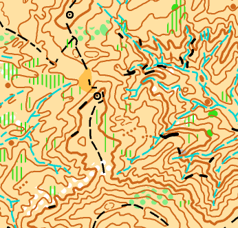
Map :
- Ray Hulse (2014)
- Salignac (partly updated 2021-2025) scale 1/7 500 – 5m (front)
- scale 1/10 000 – 5m (back)
Map sample :